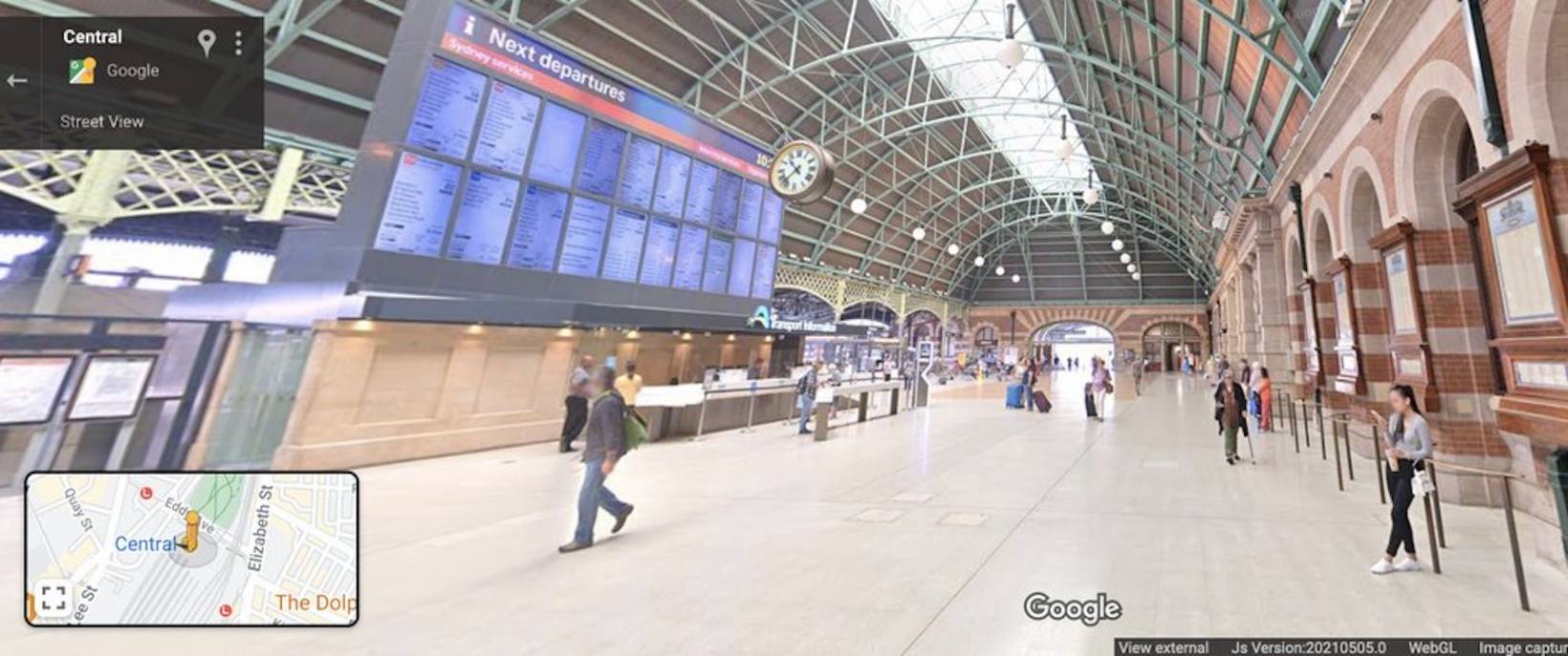
Google Maps is more than a navigation tool for drivers. The past few years have seen them bring more features to assist those who are taking public transportation or just walking. Train stations, especially the huge, bustling ones in major cities, can sometimes be difficult to go around especially if you’re a tourist or are not familiar with the place. Maps is now launching Street View Imagery for 130 train stations and a dozen metro stations in Sydney as well as detailed navigation directions for accessible routes.
The Street View imagery in the train stations will let you virtually navigate interactive and panoramic imagery so it will be easier for you to find your way around them when you finally get there. And if you’re interested in the history and beauty of some of these train stations, there are also ways to view them from Maps, including the heritage-listed St. James Station, views from Circular Quay and Missions Point, and the very busy Parraamattaa station.
Maps is also bringing directions for accessible routes around the train stations. You can see what are the best and most accessible entrances, exits, signage, and paths as well as the in-transit travel times along the pathways. This is the first time that Google is bringing this information to Google Maps in Australia although for now it’s only in Sydney train and metro stations.
Google is also sharing the navigation directions with Transport for NSW so that the government’s Open Data Portal will be able to publish this. The Transport industry as well as app developers will be able to access information and also create their own solutions for more accessible transit travel.
If you’re in Sydney and you want to access these navigation directions for your train station route, type your destination in Google Maps, whether mobile or desktop. Choose the public transport icon and then route options that you need, like wheelchair accessible, fewer transfers, or less walking. The detailed navigation instructions will be displayed then if the route will take you through a complex station.
Hopefully, this means these are just previews of what will happen when these Google Maps tools are available in other train stations in other countries as well. No news yet as to what city will be next.