Whenever someone spots a Street View car, people get all excited as they think they have the chance to get “immortalized” on the app. But now you don’t have to chase that car anymore as you yourself can contribute to the mapping app and all you need is a smartphone with the Street View app. The updated app now has a new feature called Connected Photos which lets anyone “share their world”, especially those parts where it hasn’t been reached by a Street View car or backpack.
Last month, we told you about a Driving Mode that seems to be in the testing phase on the Google Street View app. Well this new feature called Connected Photos has beaten that to the punch, even though it’s still in beta mode itself. But there is an official announcement from Google and an invitation for all those with supported devices to contribute to Street View and Google Maps. All you have to do is record a series of connected images and upload it to the app.
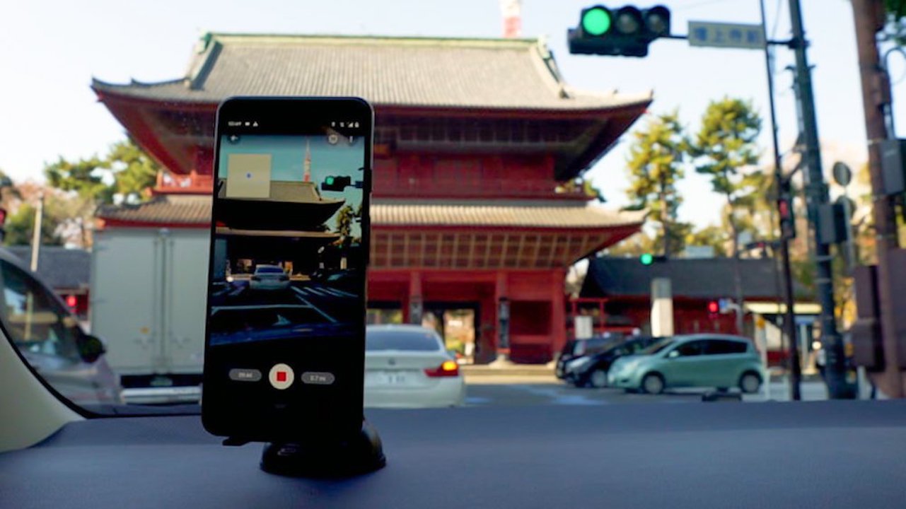
Well, first, you need to have an Android device that is ARCore-compatible and the Street View app. Tap the Create button and choose the Connected Photos feature and then move around a street or path and record a series of connected images. You then publish it on the Street View app and Google will automatically rotate, position, and create a series of connected photos and then place them on Google Maps.
The contributed connected photos will then appear as a Street View layer on Google Maps but the differentiation is that it will be dotted blue lines, as compared to the solid blue line of the primary Street View experience if there’s any. You just need to drag the Pegman around to find these contributed photos. The photos will also get the usual face and license-plate burring just like with the regular Street View photos.
Currently, the beta feature is only available in Toronto, Canada, New York, NY, Austin, Texas, in North America. Those who are in Nigeria, Indonesia, and Costa Rica will also be able to use Connected Photos on Street View.