Google Maps now shows outline of California wildfires in near-real time
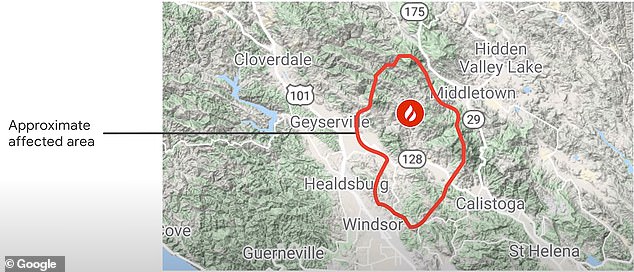
As wildfires plague the US this summer, Google Maps has added a new feature to help users stay safe and informed during a blaze. A new wildfire boundary map presents the outline of the conflagration in near-real-time, and the feature also directs users to current news and helpful information from local authorities. The information is … Read more